Community Maps is a mobile-friendly web platform that supports participatory urban planning by enabling stakeholders to collaboratively map and visualize their neighborhoods. The tool integrates current conditions (e.g., infrastructure, environmental data), stakeholder insights, and future design scenarios into clear, shareable digital maps.
With a proven track record over 15 years (Technology Readiness Level 9), Community Maps helps reduce siloed approaches by making overlaps, gaps, and opportunities visible to all involved. It fosters co-design, transparency, and collective ownership, making it a powerful tool for inclusive, just, and sustainable urban transformation.
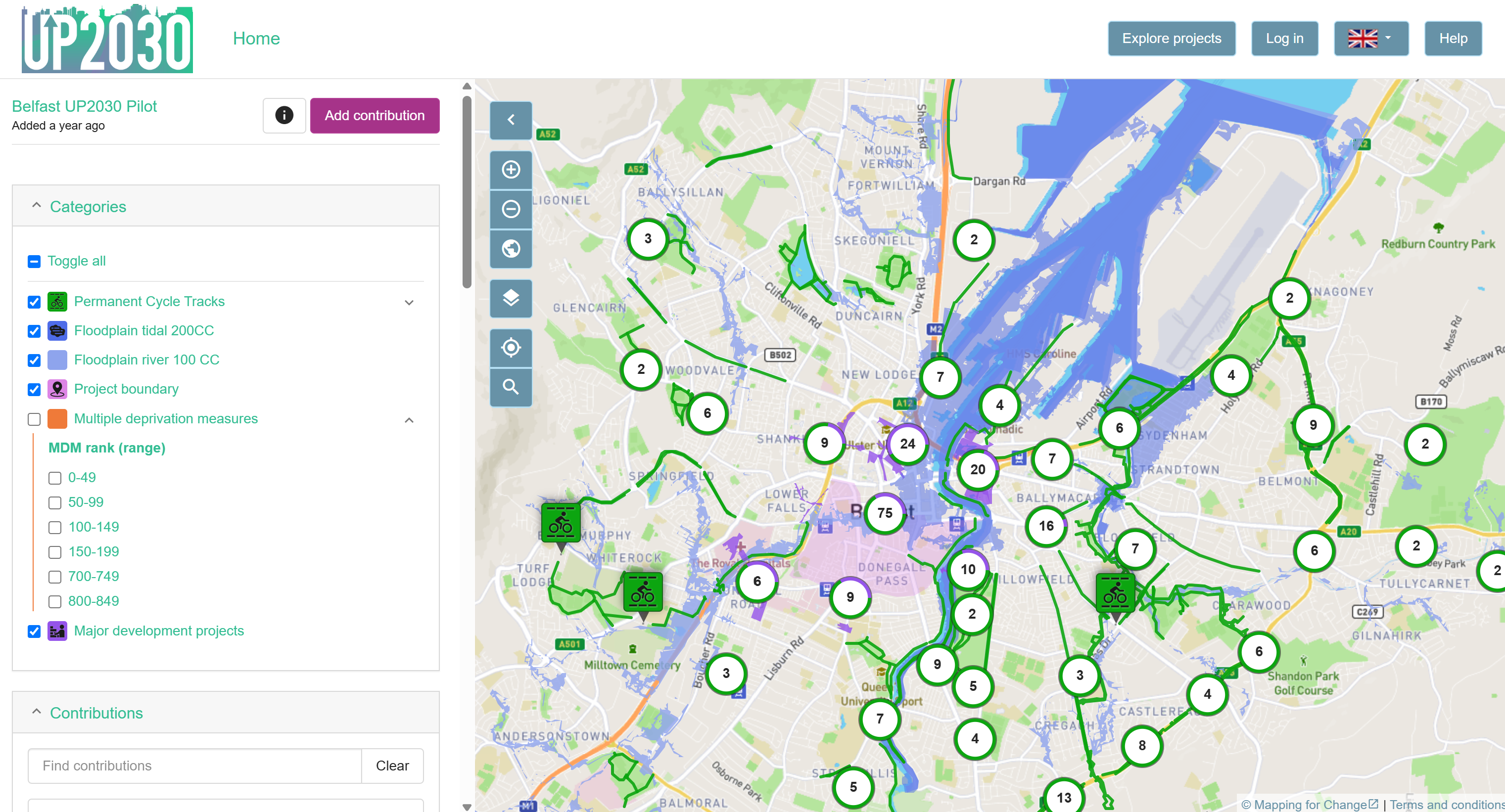
In Belfast, focused on Climate Neutral Neighbourhoods, Community Maps has been used to map flood risk, deprivation, and infrastructure gaps; identify areas where vulnerable communities are most affected by climate risks; and engage residents in co-creating inclusive, equitable, and transparent pathways to carbon neutrality. It has also formed part of the "Safe Routes, Healthy Places" toolkit, which provides children with a key for mapping their actual route and share their travel experience along their everyday routes to school.
In Budapest, as part of the Healthy Streets and Green Infrastructure initiative, Community Maps will support citizen input across nine districts, enabling interactive mapping of proposed green infrastructure upgrades. The collected data will feed into Budapest’s new Green Infrastructure Strategy and inform participatory budgeting processes, ensuring that citizen priorities are reflected in future urban planning decisions. In the first consultation for greening proposals across the city over 750 submissions were made by residents via the Community Maps platform.

Louise Francis
l.francis@mappingforchange.org.uk